Department news
(19.03.2024 v 23:28)
Calendar
(19.03.2024 v 23:44)
Job offers
(25.03.2024 v 21:20)
Tools:
WaTEM/SEDEM model - Empirical model of soil erosion and sediment transport (KU Leuven, Belgium)
LS converter - a simple tool to convert between * .asc and * .rst format (for example, to prepare data for the WaTEM / SEDEM model in ArcGIS; preparation of documents for USLE2D, etc.)
USLE 2D, 64bit verze - Download Usle2D Software
USLE 2D, 32bit verze - Download Usle2D Software
ATTA Converter - Convert files between formats (*.asc, *.rst, *.tif, *.shp, *.vct, *.json, *.geojson, *.gml)
Cartographic Issues (GIS):
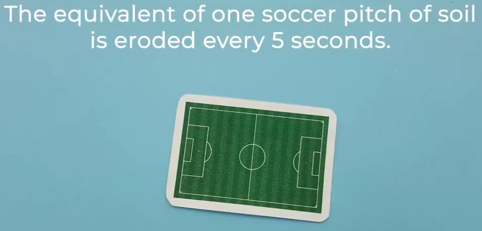 |
Stop soil erosion, keep soil where it belongs! |
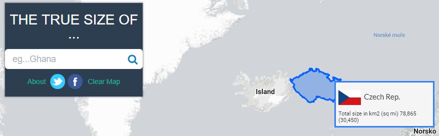 |
What is the real size of individual parts of the world - how much do they distort google maps |
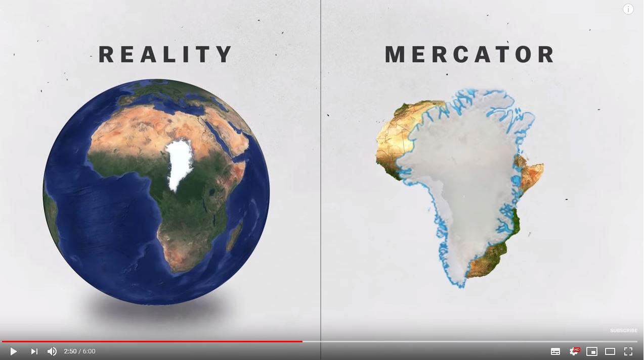 |
https://www.youtube.com/watch?v=kIID5FDi2JQ Nice video about projection - real world vs. map |
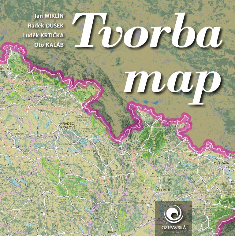 |
A book on map creation with practical examples and tutorials (QGIS, ArcGIS) - downloadable as PDF |
GIS portály, webové služby, analýzy...
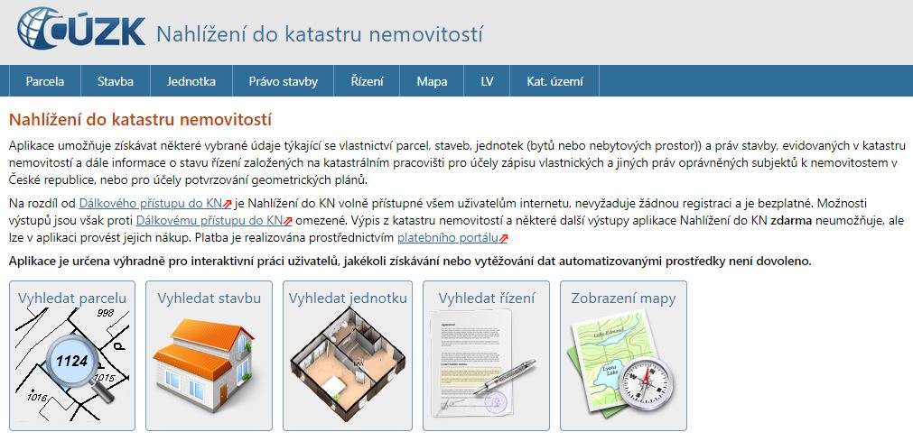 |
https://nahlizenidokn.cuzk.cz/ Cadastre of Real Estates |
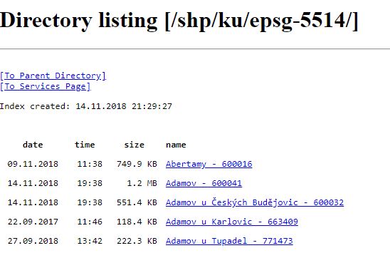 |
http://services.cuzk.cz/shp/ku/epsg-5514/ Cadastre of Real Estates - download of cadastral map in SHP (Shapefile) format - whole CR! |
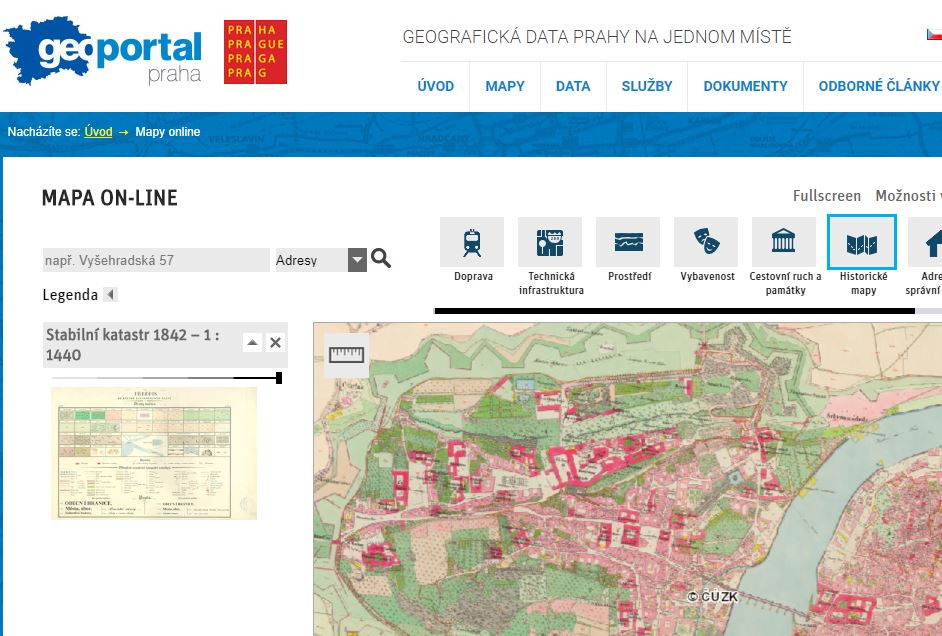 |
Prague Geoportal, with the possibility to download a number of data (eg in SHP format) |
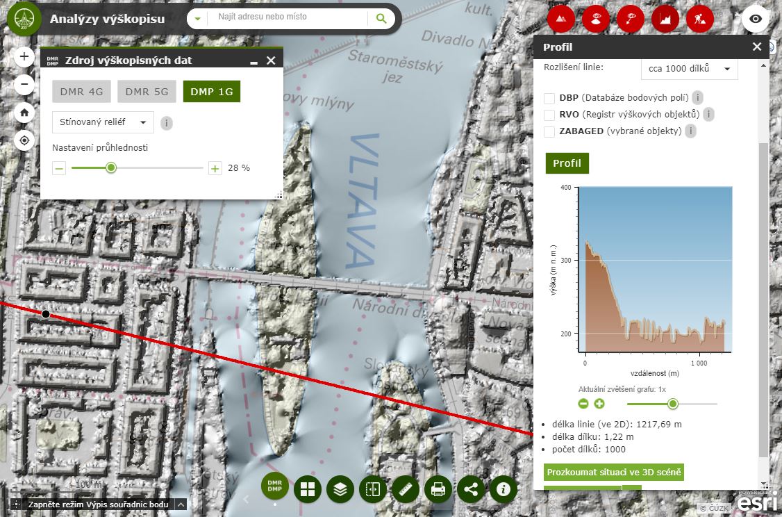 |
Altimetry analysis (terrain models - DMR4G, DMR5G, DMP1G including visibility analysis, volume measurement, etc.) |
Test compatibility ArcGIS Desktop:
ArcGIS update